Sarjapur Road Location & Connectivity Guide 2026
Published 15 Jul 2026 · Last updated 15 Jul 2026
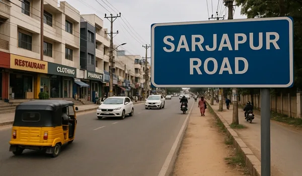
Connectivity is one of the top reasons buyers choose Sarjapur Road, yet the corridor spans a wide stretch of South-East Bengaluru and different pockets connect differently to the city. This guide maps out what the Sarjapur Road corridor actually offers: how the road network works, which IT parks you can reach and in how long, how far the airport sits, and what the approved metro line means for future residents. Understanding this before you book means choosing a pocket that genuinely fits your daily commute and lifestyle.
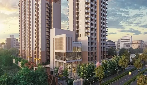
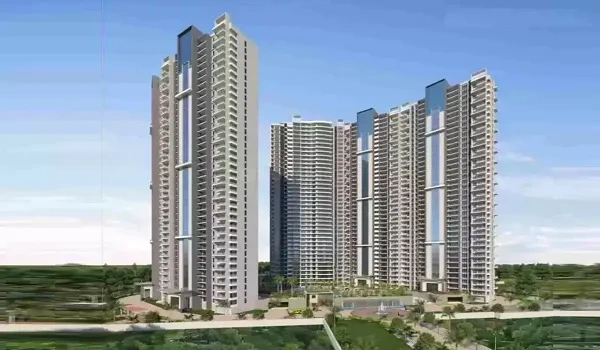
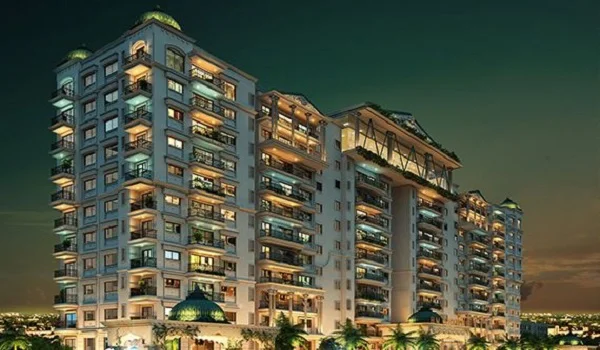
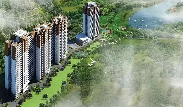
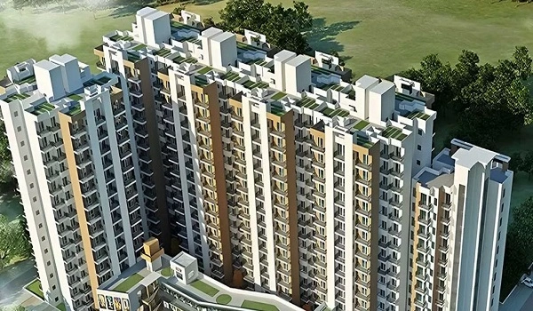
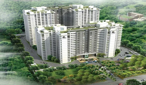
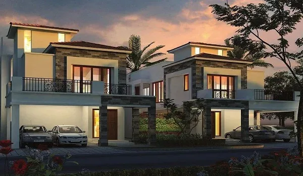
Our featured pre-launch on this corridor, Prestige Sarjapur Road by Prestige Group, is located at Ittangur on Sarjapur Road, with 1, 2 and 3 BHK homes from about ₹68.25 L. All distance and drive-time figures in this guide are indicative; verify current travel conditions with the developer and check K-RERA for project registration details before booking.
Where Is Sarjapur Road?
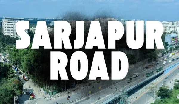
Sarjapur Road is a major arterial road running through South-East Bengaluru, stretching from its junction with the Outer Ring Road — near Marathahalli and Bellandur — toward Sarjapura town and further toward Attibele on the Karnataka-Tamil Nadu border. The corridor covers several distinct residential pockets, including Harlur, Halanayakanahalli, Carmelaram, Ittangur and Sarjapura, each with its own micromarket character and distance to the ORR.
Geographically, Sarjapur Road sits in the south-east quadrant of the city, flanked by HSR Layout to the west, Bellandur and Electronic City to the south-west and south, and Whitefield to the north-east via the ORR. This position makes it one of the key corridors for professionals working in the ORR tech belt or Electronic City who want newer housing stock at a value entry point. The closer a project is to the ORR junction, the shorter the commute to the northern tech parks; pockets further south-east tend to be quieter and sometimes lower-priced, with good access toward Electronic City.
Road Connectivity
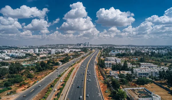
The primary road serving the corridor is Sarjapur Road itself, connecting directly to the Outer Ring Road at the Silk Board junction end and at the Marathahalli-Bellandur node. The ORR is Bengaluru's main arterial ring linking all IT clusters, and access to it from Sarjapur Road is straightforward — making it the main daily commute route for residents working on the ring road belt. Peak-hour traffic on both the ORR and Sarjapur Road itself is a known challenge, and travel times can vary significantly between off-peak and peak hours.
The NICE Road (Nandi Infrastructure Corridor Enterprises) runs along the city's peripheral belt and provides an alternative route from Sarjapur Road toward Mysuru Road, Tumkur Road and connections to Kempegowda International Airport, bypassing inner-city congestion. For airport travel in particular, NICE Road is the faster option for residents in south and south-east Bengaluru. The proposed Peripheral Ring Road, which would loop further around the city's outer edge, is in planning stages and may further ease connectivity in the future if completed; buyers should not factor it in as near-term infrastructure. Sarjapur Road itself is a state highway that has seen periodic widening and improvement work over the years.
Distances to Key IT Parks
The IT park proximity is one of Sarjapur Road's core selling points. The table below lists the main tech parks that Sarjapur Road residents commute to, with indicative distances and peak-hour drive times from the mid-corridor Ittangur pocket. Actual times depend on your specific project location within the corridor, time of travel and prevailing traffic conditions.
| IT Park | Approximate distance (indicative) | Indicative peak-hour drive time |
|---|---|---|
| Embassy Tech Village (Outer Ring Road) | ~10 – 14 km | ~20 – 35 min |
| RMZ Ecoworld (ORR, Bellandur) | ~8 – 12 km | ~20 – 30 min |
| Cessna Business Park (Kadubeesanahalli) | ~12 – 16 km | ~25 – 40 min |
| Pritech Park (Marathahalli) | ~14 – 18 km | ~25 – 40 min |
| Wipro SEZ (Sarjapur Road) | ~5 – 10 km | ~15 – 25 min |
| RGA Tech Park (Sarjapur Road) | ~4 – 8 km | ~10 – 20 min |
| Electronic City (Phase 1 & 2) | ~15 – 22 km | ~30 – 50 min |
Airport Connectivity
Kempegowda International Airport sits in North Bengaluru, roughly 35 to 50 km from most Sarjapur Road pockets. The most practical route for most Sarjapur Road residents is via NICE Road to the Tumkur Road or Bellary Road entry to the airport. This bypass route avoids the worst inner-city congestion and can be more predictable than the direct inner-city route. Travel times are typically 50 to 90 minutes in normal conditions, extending during peak hours; early morning departures tend to be the most manageable. An airport bus service and app-based cab options cover this route.
The airport's distance is one trade-off that Sarjapur Road buyers accept compared to North Bengaluru locations closer to KIAL. For buyers who travel frequently for work, factoring the airport commute into the location decision is important. Once the metro network expands further — with Phase 3A connecting Sarjapur Road to the city-wide metro grid — the rail path to the airport connectivity spine will improve, though KIAL access will still require a separate mode until the airport metro link extends further.
Metro Connectivity
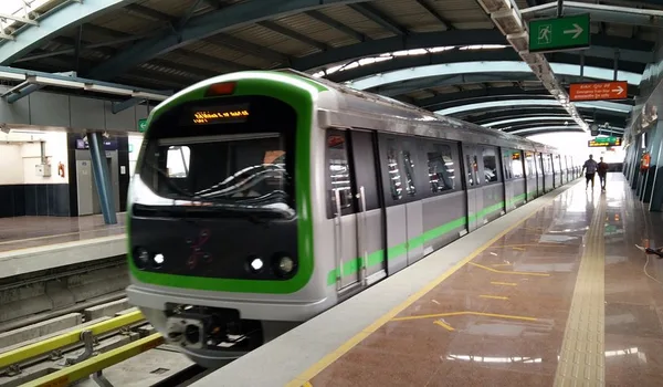
The Namma Metro Phase 3A line from Sarjapur to Hebbal has received Union Cabinet approval and represents the most significant future infrastructure catalyst for the corridor. When operational, it will connect Sarjapur Road directly to the Hebbal node in North Bengaluru, intersecting with existing and planned metro lines along the way and giving the corridor rail access to the rest of the city. This is a major differentiator for Sarjapur Road compared to comparable suburban corridors that have no metro planned at all.
As of 2026, the line is not yet operational. Land acquisition, tendering and civil construction timelines will determine when stations open. Buyers should track BMRCL announcements for project progress and not assume any specific opening date in their purchase calculations. The approved status does, however, confirm that the line is government-sanctioned — it is not a proposal or a speculation. Planned station locations along the Sarjapur Road alignment will be confirmed by BMRCL; buyers should verify which stations are closest to specific project pockets as design details are released. The metro is a long-term value driver — not an immediate amenity, but a confirmed upside for buyers who plan to hold for the medium term.
Social Infrastructure Connectivity
Sarjapur Road has developed a strong social infrastructure base over the past decade, with the main schools, hospitals and retail destinations now well within reach of the central corridor. The table below summarises the key anchor institutions; travel times are indicative and should be verified on a working day from your specific project pocket.
| Category | Key institutions (indicative) | Indicative distance from corridor |
|---|---|---|
| Schools | Greenwood High, Inventure Academy, Indus International School, Delhi Public School (Electronic City), Ryan International | ~1 – 10 km depending on school and pocket |
| Hospitals | Sakra World Hospital, Narayana Health (Electronic City), Columbia Asia (Sarjapur Road), Manipal Hospital (Whitefield) | ~3 – 15 km depending on hospital and pocket |
| Retail & malls | Phoenix Marketcity (Whitefield), Market Square Mall (Sarjapur Road), Forum Mall (Koramangala), Total Mall | ~5 – 15 km |
| Supermarkets | DMart, More, Big Bazaar outlets along Sarjapur Road | Within the corridor |
For family buyers, the school density along Sarjapur Road is a strong point — the corridor has a cluster of established international and CBSE/ICSE schools that make it one of the better-served suburban corridors for education. Hospital coverage has improved significantly, with Sakra World Hospital on the corridor and other multi-specialty facilities reachable within 15 minutes in most cases. Review Prestige Sarjapur Road's floor plans and price list, and book a site visit through the contact page to judge proximity to these anchors from the specific project location.
Frequently Asked Questions
1. Where is Sarjapur Road located in Bengaluru?
Sarjapur Road runs through South-East Bengaluru, beginning at the Outer Ring Road junction near Marathahalli and Bellandur and extending south-east toward Sarjapura town and Attibele. It is part of Bengaluru's major IT growth corridor connecting the ORR tech belt to Electronic City.
2. How far is Sarjapur Road from the Outer Ring Road?
Sarjapur Road begins at its ORR junction and extends south-east, so the northern pockets are right at the ORR while southern pockets like Ittangur and Sarjapura are roughly 10 to 20 km from the junction depending on the specific location. Drive times vary significantly with traffic.
3. Which IT parks are closest to Sarjapur Road?
The nearest major IT parks along and around the ORR corridor include Embassy Tech Village, RMZ Ecoworld, Cessna Business Park, Pritech Park, Wipro SEZ and RGA Tech Park. Indicative peak-hour drive times from the Sarjapur Road stretch range from about 10 to 30 minutes depending on the micro-location and destination.
4. When will the metro reach Sarjapur Road?
The Namma Metro Phase 3A line from Sarjapur to Hebbal has been approved by the Union Cabinet and is awaiting land acquisition and civil construction to begin; it is not yet operational as of 2026. Buyers should track BMRCL announcements for the latest timeline.
5. How far is Sarjapur Road from Kempegowda International Airport?
Kempegowda International Airport is roughly 35 to 50 km from most Sarjapur Road pockets depending on the specific location, typically via NICE Road or the ORR and Bellary Road. Drive times are indicative and vary considerably by pocket and traffic conditions.
6. What schools and hospitals are near Sarjapur Road?
Key schools within or near the corridor include Greenwood High, Inventure Academy, Indus International School and Delhi Public School; major hospitals include Sakra World Hospital, Narayana Health and Columbia Asia. Exact travel times depend on the specific project pocket.
Conclusion
Sarjapur Road's connectivity story in 2026 is built on two layers: a road network that already delivers access to the ORR IT belt, Electronic City and NICE Road to the airport, and an approved metro catalyst — the Namma Metro Phase 3A Sarjapur-to-Hebbal line — that is not yet operational but confirmed by Union Cabinet sanction. The corridor spans a wide stretch of South-East Bengaluru, and the right pocket to buy in depends on which employment node you commute to, how much the airport matters, and whether school proximity is a priority. Use the distance table in this guide as a starting framework, then verify actual commute times on a working day from the specific project before you book. Compare Prestige Sarjapur Road's floor plans and price list, and contact the developer through the contact page to schedule a site visit and check the project's distance from your key daily destinations.
Prestige Sarjapur Road Blog